By Kevin Corcoran and Leslie Horwitz
Environmental Art & Social Practice Artist Fellows working with the Art + Genomics and Climate Action Lab initiative for the Seymour Center
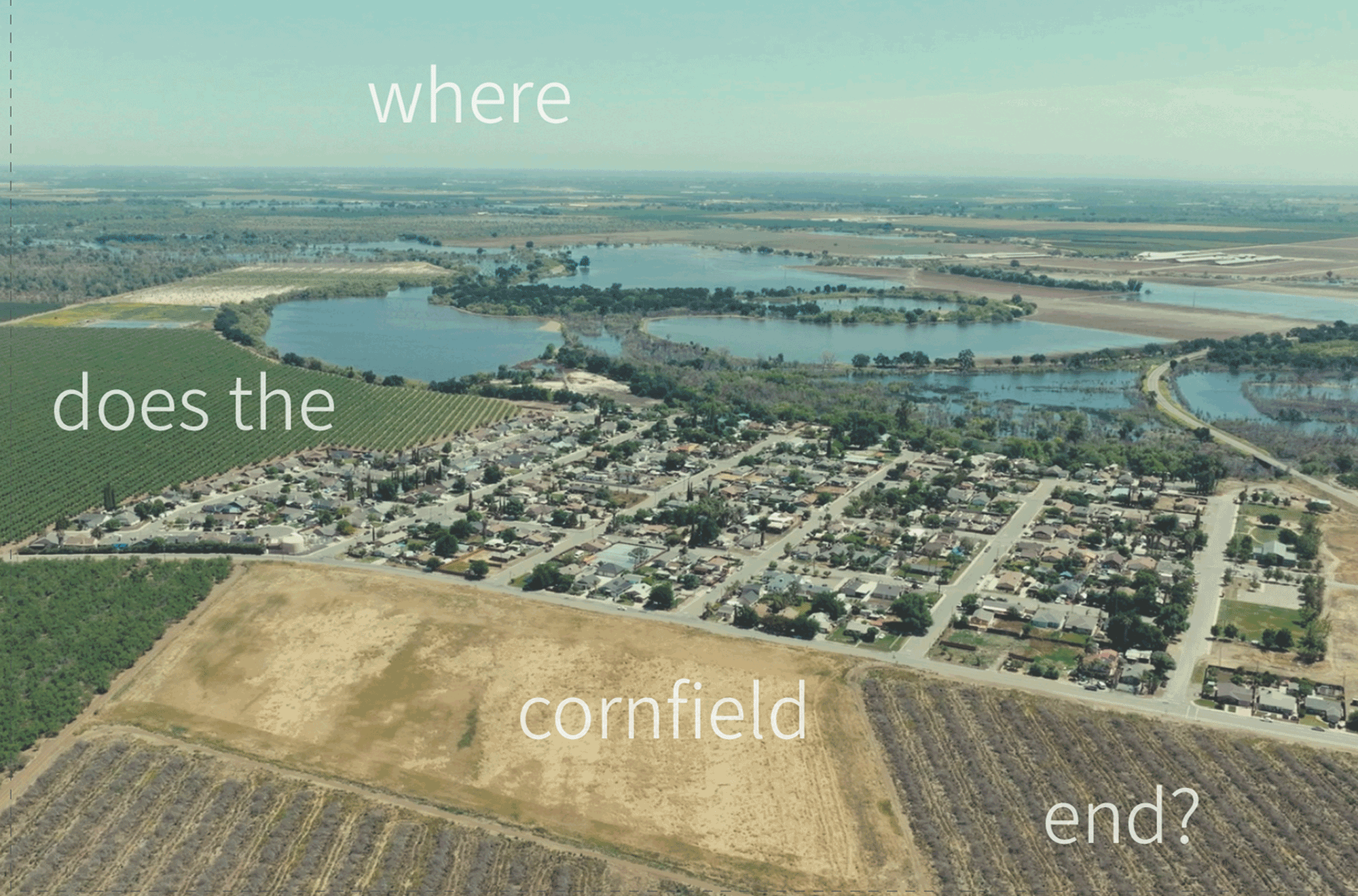
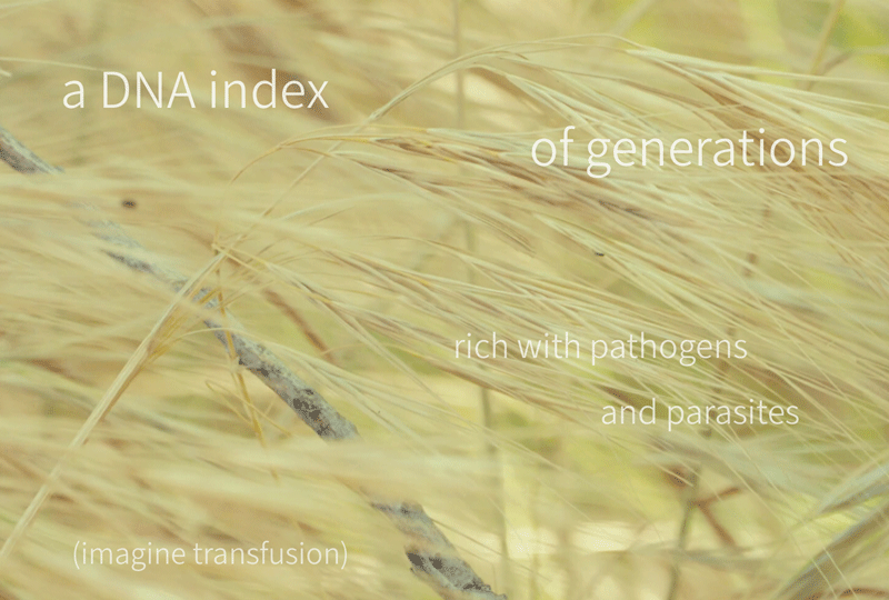
Where Does the Cornfield End? centers on the fate of a sick cornfield rich with pathogens and parasites. At the site, in Grayson, CA, scientific researchers use environmental DNA (eDNA) to identify the impact on biodiversity of a riparian buffer corridor around the industrially farmed cornfield. A riparian buffer corridor consists of trees and/or shrubs planted adjacent to a river, stream, wetland, or water body to protect near-stream soils from over-bank flows, trap harmful chemicals or sediment transported by surface and subsurface flows from adjacent land uses, or provide shade, detritus, and large woody debris for the in-stream ecosystem.
Will this infusion work? We don’t know. We can only see fragments, in the language of eDNA left over by generations of sex, death, and rebirth.
Where Does the Cornfield End?
Corcoran and Horwitz gathered artistic samples in tandem with researchers collecting soil and water samples as scientists sought to identify communities of organisms based on the traces of eDNA they leave behind, as the site, too, leaves traces of its story.
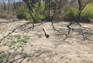
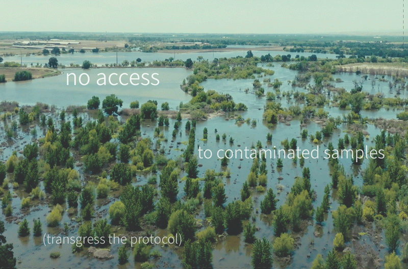
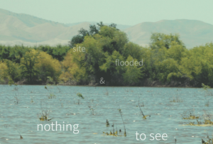
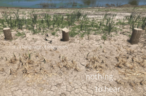

Devastating floods swept over California agriculture lands during the winter of 2023. The site flooded, No access! The major fields around Grayson, sitting where the San Joaquin and Tuolumne rivers converge, were completely underwater, though thankfully the town was left without major damage. Townspeople and experts point to the nearly 2,100 acres of former farmland just across the San Joaquin that have been largely restored to a natural floodplain. When the artists asked the stewards of the San Joaquin for access to the land, they said “There’s nothing there.” Scientific research was placed on pause.
In this moment, Corcoran and Horwitz’s project pivoted to a project of trespassing, of seeing what’s there when there is nothing to see, and of exploring art-science cross-contamination as a multi-media, engagement-focused, installation to express their relationship with the site and hopefully engender broader questions about access, biodiversity, and belonging.
The process of collecting eDNA is a storytelling across scales and time. It is also a physical process of collecting, shaking, and splicing soil samples to reveal traces of life not necessarily present in an immediate encounter. One can see macro trends as well as the impact of the smallest microorganism. Using tools of artistic encounter, we approached the site at various scales and methods of listening.
Location sound is sampled, spliced, processed, and sequenced to produce a plural experience of place. Aerial drone footage situates the larger rhythms of the floodplain and the impact of manmade landscapes. High-frame-rate long-lens photography reveals an intimate and resilient portraiture of life on the ground.
They have coupled two film perspectives as a diptych with original sound scores using location-based audio samples with a poetic voiceover to invite the viewer into some of the conversations they had with the site. The postcards encourage traces of interconnection as a public project to invite participation either by returning responses to the project or distributing its inquiry in the broader context of interpersonal exchanges and different locations.
**Support for this project was made possible by the Genomics Institute and UCSC Center for Coastal Climate and Resilience.
